
Discover Our Core Services
From boundary surveys to marine inspections, we provide accurate and reliable surveying solutions across The Bahamas. Explore our core services below for a detailed breakdown.
---------------- 🛠 ----------------
Topographical Survey
------------------- 🛠 -------------------
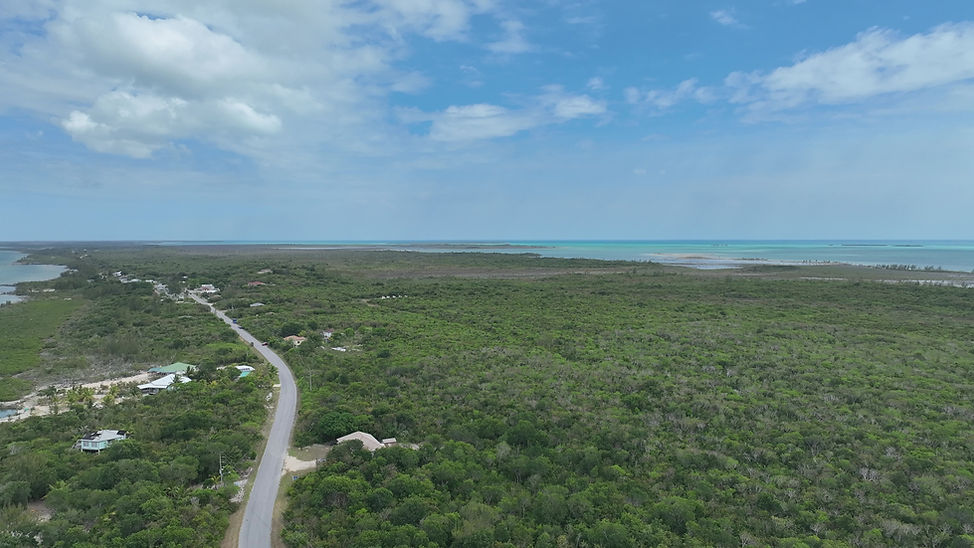
A topographical survey provides an accurate representation of land, showing natural and man-made features with levels. It is essential for architects, planners, and engineers in the design and development of sites.
Accurate mapping of land features and boundaries
Supports design, planning, and construction projects
Delivers precise 3D survey data for professionals
Provides a reliable base for site analysis


---------------- 🛠 ----------------
Cadastral Survey
------------------- 🛠 -------------------
Cadastral surveys establish or re-establish property boundaries, ensuring clear legal definitions of land ownership. They are crucial for preventing disputes and supporting property transactions.
Defines and verifies legal land boundaries
Prevents ownership conflicts and disputes
Supports subdivision and property registration
Provides authoritative records for transactions
---------------- 🛠 ----------------


Roads, Utilities & Infrastructure Surveys
------------------- 🛠 -------------------
These surveys ensure that utilities and infrastructure—both above and below ground—are properly identified and mapped. They play a vital role in safe construction, efficient planning, and risk reduction.
Identifies above- and below-ground utilities
Reduces risks of excavation damage
Supports safe, efficient infrastructure development
Provides data for maintenance and expansion


---------------- 🛠 ----------------
Hydrographic Survey, Underwater Inspection & Observation
------------------- 🛠 -------------------
Hydrographic surveys map and measure underwater features for navigation, marine construction, and environmental monitoring. They ensure safer maritime operations and accurate underwater assessments.
Detailed mapping of seabeds and waterways
Supports dredging, marine construction, and navigation
Provides accurate underwater inspection data
Enhances environmental and coastal studies
---------------- 🛠 ----------------


DRONE SURVEY & INSPECTION
We hope to become leader in the provision of drone surveys and inspections in the property and construction markets, using the latest UAV technology to help save clients time and money.
With the ability to reach even the most inaccessible, hazardous or large-scale sites, Polaris Surveying's UAV (unmanned aerial vehicle) teams use the latest drone technology to provide a wide range of drone surveys and inspections.
---------------- 🛠 ----------------
PRODUCTS AND SERVICES
Professional land, construction, and aerial surveying services you can trust.
---------------- 🛠 ----------------

30 min - 2 hr
From 1 Bahamian dollar
30 min - 2 hr
From 1 Bahamian dollar
1 day
150 Bahamian dollars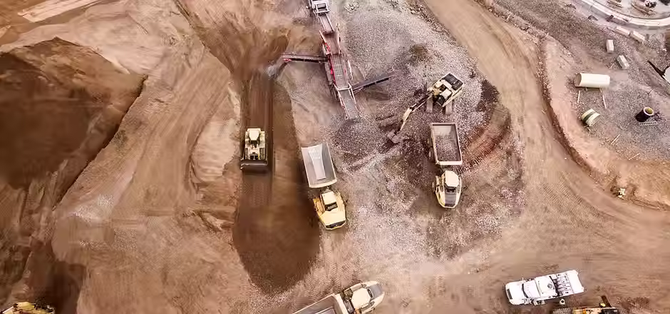
1 day
150 Bahamian dollars
Request a Proposal / Get a Quote
Please fill out the form below to request a proposal or quote. Select your required service and provide the key project details. This will help us prepare a tailored proposal for your needs.
---------------- 🛠 ----------------